Early in the mid-1990s, navigation with the help of satellites is possible through the Global Positioning System (GPS). GPS is originally used for military services. In recent years, this technology becomes common at the consumer level. GPS navigation device features an ever growing list of mobile devices and are used to serve a multiple of specific navigation purposes.
Driving Navigation
The majority of GPS navigation devices are intended primarily for use while driving. Manufacturers of hand-held GPS systems include Magellan Navigation Inc., Tom Tom Inc., Garmin Ltd., as well as smaller companies like Mio Technology Limited, Navigon Inc., and Navman USA. Most of these companies produce GPS devices that come preloaded with maps which can be updated or expanded through continuously available software updates. Maps of the continental United States, Canada, Mexico, Alaska, Hawaii, Europe, and other regions are available in various combinations, with many of the entry level navigation devices featuring smaller internal memory capacities and usually fewer map information.
Each manufacturer also offers its own series of GPS features. Popular features include text-to-voice systems, in which the device reads street names aloud as part of the spoken directions. Some GPS systems intended for driving also feature off-road or pedestrian modes, which alter their route selection according to the method of transportation.
Integrated Car Navigation
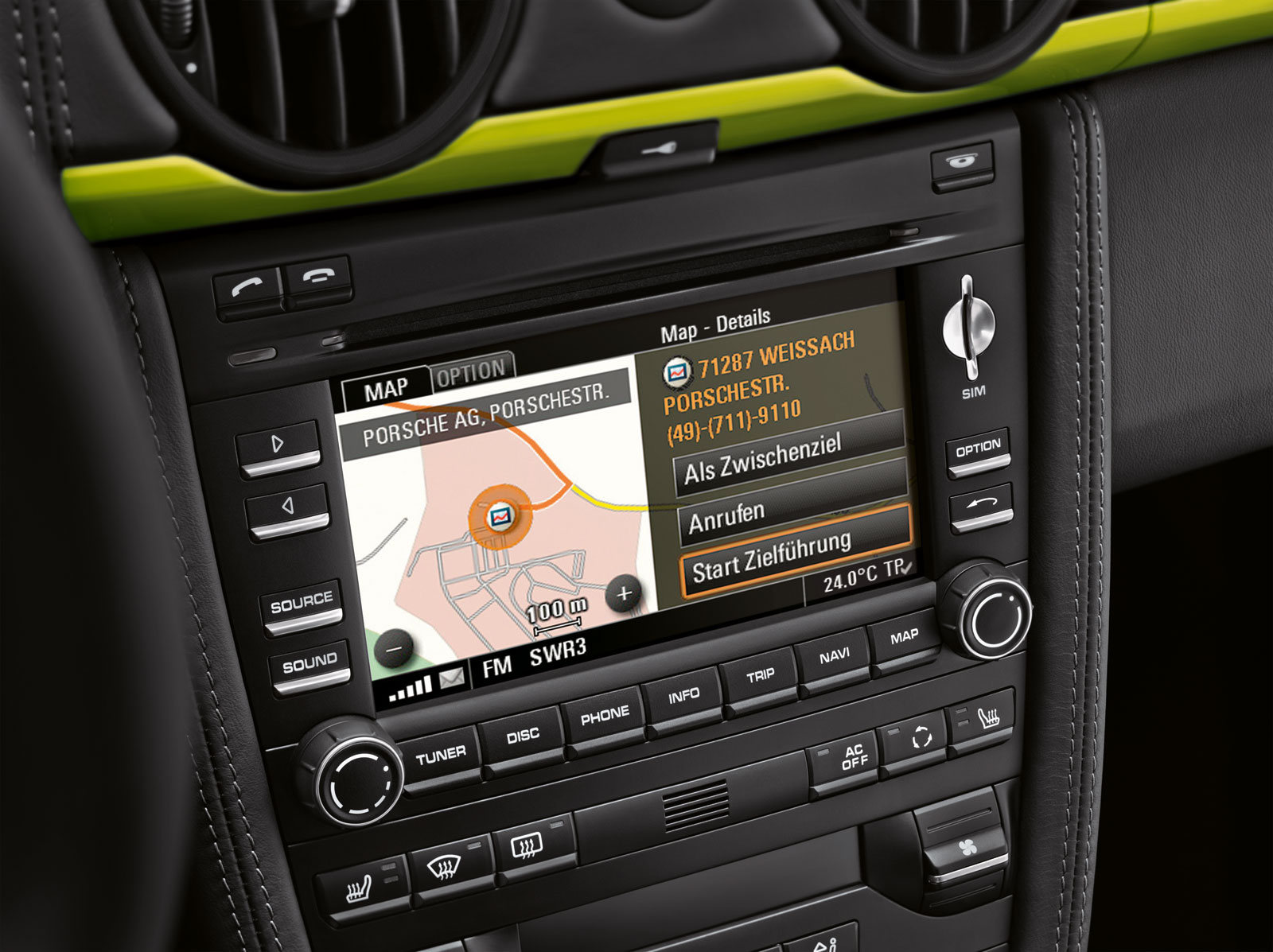
In the early 2000s, automakers began including GPS systems as part of the information center in some car models. This trend began with high end luxury vehicles and made it to more modestly priced vehicles as either a standard luxury feature or an available option. These GPS systems work much the same way as hand-held devices. In some cases, car-based GPS systems use DVDs to supply their maps, which can be changed to give information on a new region or to provide updated data as new maps are released by the manufacturer over time.
One key advantage of in-dash navigation systems is their ability to link to other services, such as the On Star program offered by General Motors. This allows service and emergency vehicles to locate a driver in need by using their car’s GPS signal.
Traffic Monitoring
Many newer GPS navigation systems intended for in-car use (as well as some older high-end models) feature the option of real time traffic monitoring. These devices can alert drivers to traffic delays and suggest alternate routes. GPS systems with real time traffic information use a FM radio signal to receive local data being broadcast over the airwaves. As such, traffic monitoring is essentially a separate service that is integrated into the GPS device. Monthly or annual fees often apply to traffic monitoring, and may require the installation of a special radio receiver that is not needed for basic GPS navigation. Furthermore, traffic monitoring may be restricted to major metropolitan areas where data is available.
Off-Road Navigation
While some GPS navigation systems include an off-road mode, others are designed specifically for off-road use. These systems typically feature a more durable construction since they are more likely to be exposed to the elements instead of being sheltered inside a car. In addition, off-road devices may feature shock absorbing material to protect them from the rough ride of a Jeep, ATV, or dirt bike. Some off-road GPS devices include enlarged buttons that can be operated even while the user is wearing gloves. Straps or hooks that allow the device to be securely attached to the vehicle are also common.
Off-road GPS systems use the same technology to display their location, but feature different maps which may include off-road trails or display navigation routes that don’t only use public roadways.
Broaden your view on navigation systems
by
Tags: